
A proposal means a developer has applied, or a city council has taken a preliminary step like annexation or rezoning. It does not mean construction has started, water and electricity contracts are signed, or a final tenant has been identified. Many residents conflate these stages, and developers rarely rush to clarify the difference.
This article looks at why Wisconsin farmland is attracting this kind of interest, what's actually known about Menomonie and other proposed sites, and what agricultural, environmental, and financial trade-offs communities should weigh before land changes hands for good.
Key Takeaways
- Wisconsin data center projects track national AI growth but still need local zoning, utility capacity, and signed agreements.
- Farmland conversion affects soil productivity, drainage, and neighboring operations, not just acreage.
- Jobs and tax revenue stay conditional until final development agreements are public.
- Verify current documents before concluding; proposals often get withdrawn, paused, or restructured.
What Is Proposed in Wisconsin Farmland Communities?
A hyperscale data center isn't just a warehouse full of servers. It typically includes cooling systems, on-site substations, backup diesel generators, security fencing, new roads, and expanded water or sewer infrastructure. The footprint extends well beyond the server buildings themselves.
The Menomonie Proposal
Balloonist LLC served as the intermediary for the Menomonie project, and as of the latest public records, the eventual technology-company occupant hadn't been disclosed. Here's what's confirmed:
- The city annexed and rezoned about 320 acres near County Highway B in 2025.
- The city later purchased the land and established an I-4 data-center zoning district in January 2026.
- A proposed $1.6 billion investment was cited, alongside estimates of 50-75 permanent jobs and up to 1,000 construction jobs.
- Municipal water and wastewater service was estimated at 75,000 gallons per day.
- Tax-increment financing talks paused in September 2025 — but Wisconsin Public Radio reported the city explicitly stated the project itself was not cancelled.
A construction permit, signed development agreement, and confirmed electrical demand had not been publicly finalized at that point.
Stages of Approval Matter
Each step in the process carries different weight:
- A landowner petition or annexation only shifts jurisdiction
- Rezoning and conditional-use approval open the door to development, but they aren't a green light to build
- A signed development agreement locks in specifics
- Construction and operation are the final and most consequential stages

How Other Wisconsin Proposals Compare
| Location | Status (most recent reporting) | Outcome type |
|---|---|---|
| DeForest (QTS) | Village staff recommended rejecting annexation, January 2026 | Application withdrawn |
| Port Washington (Vantage) | Advancing through construction reviews, 2025-26 | Proceeding, 672 acres of formerly agricultural land |
| Beaver Dam (Meta) | Announced November 2025, approvals proceeding | Proceeding, with grid upgrade commitment |
| Caledonia (Microsoft) | Withdrawn October 2025 after community feedback | Withdrawn |
| Greenleaf (Cloverleaf) | Developer withdrew, January 2026 | Withdrawn |
| Grant County (Cassville area) | Town adopted temporary restriction, April 2026 | Blocked/uncertain |
| Janesville (Viridian) | Letter of intent expired, June 2026 | Not a farmland case; negotiation lapsed |
Note that a proposal's status changes fast. Always check current city, county, or state agency records before treating any of these as final.
Why Are Data Centers Being Proposed in Wisconsin?
Global demand is the backdrop. The International Energy Agency projected worldwide data center electricity use would climb from 415 terawatt-hours in 2024 to roughly 945 terawatt-hours by 2030, driven largely by AI workloads. That's a national and global trend, not proof that any specific Wisconsin parcel is needed.
Site-Selection Factors
Developers look for a specific combination of conditions:
- Large, contiguous parcels with flexible zoning
- Interstate and rail access for construction logistics
- Feasible utility interconnection points
- Freshwater availability for cooling
- Workforce proximity without urban land costs
Rural farmland often checks every box. Fields are large, ownership is often consolidated, and roads already connect to utility corridors, even though the facility’s digital function is entirely global.
Tax Incentives and Public Costs
Wisconsin's economic development tools aren't blanket exemptions. The Wisconsin Economic Development Corporation offers a sales and use tax exemption for qualified data center purchases, with five-year investment thresholds of:
- $150 million in counties over 100,000 population
- $100 million in mid-sized counties
- $50 million in smaller counties
Property taxes are handled separately through negotiated agreements, often involving tax-increment financing.
Who Pays for the Grid?
Utility terms vary by provider and case. The Public Service Commission's April 2026 decision on We Energies set a 100 MW threshold and 15-year minimum commitment for large customers, with 100% cost recovery for covered generation facilities.
Menomonie's utility, Xcel Energy, hasn't disclosed comparable terms publicly. Meta's Beaver Dam announcement included a commitment to underwrite nearly $200 million in grid upgrades, a useful benchmark, but not a guarantee that other developers will offer the same.

Why Farmland Conversion Matters
Losing farmland isn't just about acreage counts. It's about what that specific ground does for soil productivity, water movement, and the farms around it.
Soil and Watershed Functions
The Town of Red Cedar, where Menomonie's proposed site sits, classified 73.89% of its land as agricultural in its 2015 comprehensive plan. That township-wide figure doesn't tell you whether the specific 320 acres contain prime farmland, tile drainage, or wetland features.
A parcel-level soil survey and drainage review answer that question; a township average doesn't.
Site conditions worth checking include:
- Prime or productive soil classifications
- Existing field drainage and tile outlets
- Wetland boundaries and flood storage capacity
- Groundwater recharge zones
Port Washington's project offers a real comparison point. The Wisconsin DNR identifies its 672-acre campus as previously agricultural land, with wetland determinations and stormwater permits issued through 2025 and 2026. That parcel-specific review is what generic land-use statistics can't replace.
Effects on Neighboring Farms
Construction traffic, dust, altered drainage, and new utility corridors can disrupt operations on adjacent land, even when a farm itself isn't sold:
- Field access routes get rerouted
- Irrigation and drainage patterns shift
- Neighboring farmers absorb costs without being party to the agreement
One Family's Decision, a Community's Consequence
A land sale can help one farm family gain financial stability or reorganize into a smaller, more efficient operation. The cumulative question is harder: once several parcels convert to industrial use, a township's agricultural character can shift permanently, and it doesn't shift back.
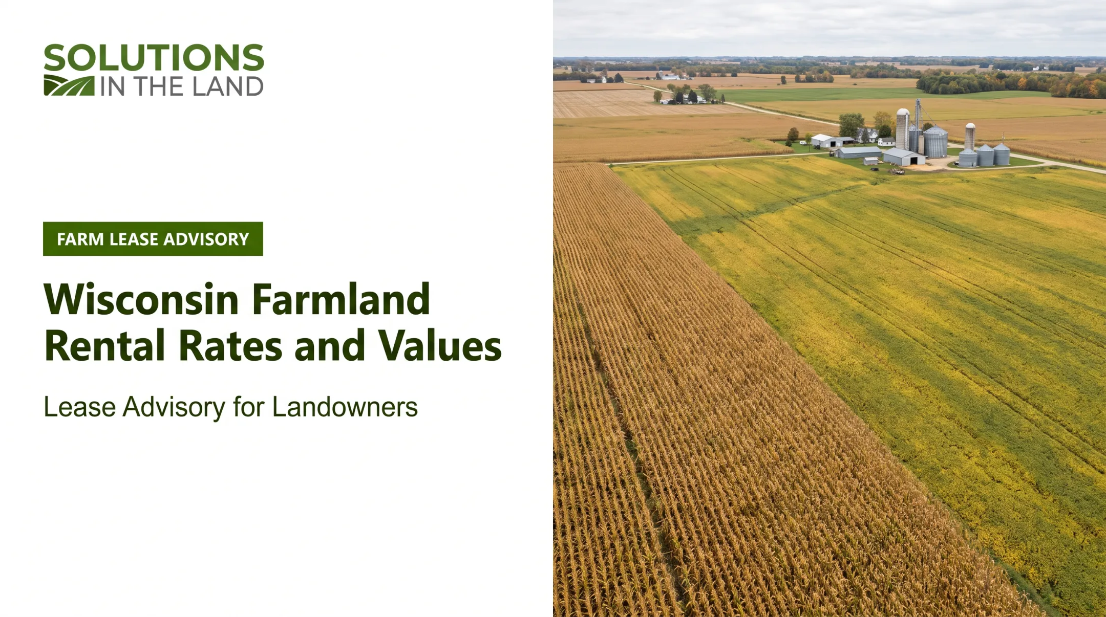
For landowners weighing this decision, whole-system farm planning from firms like Solutions in the Land looks at soil health, watershed relationships, and long-term farm income together, rather than treating a land offer as a standalone transaction. It doesn't replace zoning or legal review. It clarifies the productivity, drainage, and income tradeoffs before the sale closes.
What Are the Potential Benefits and Community Trade-Offs?
Developers typically promote construction jobs, permanent operations roles, and new tax revenue. Those numbers deserve scrutiny before they're treated as settled fact.
| Project | Reported investment | Jobs | Water/power note |
|---|---|---|---|
| Menomonie | $1.6 billion (proposed) | 50-75 permanent, up to 1,000 construction | 75,000 gal/day municipal estimate |
| Beaver Dam | Over $1 billion | 100+ operational, 1,000+ peak construction | Dry cooling, ~$200M grid investment |
| Port Washington | At least $8 billion | Not independently verified here | 12,000 gal/day for construction wells only |

Notice the water figures aren't measuring the same thing. Menomonie's estimate covers total municipal service; Port Washington's covers temporary construction trailers only. Comparing these numbers directly would be misleading.
The Real Trade-Offs
- Water consumption for cooling, separate from construction-phase use
- Electricity demand and who ultimately pays for grid upgrades
- Noise and emissions from backup diesel generators (Port Washington permitted 45 of them)
- Traffic, lighting, and lasting change to the agricultural landscape
- Pressure on public services and possible effects on utility rates
- Permanent conversion of productive farmland and loss of lease income
Tax Increment Financing: Read the Fine Print
Port Washington's development agreement allows the developer to be reimbursed for eligible costs from future tax increments, with interest accruing at 7% annually. That means gross investment figures don't equal net public revenue. Communities should ask what happens if construction stalls or the facility is valued below projections.
Long-Term Risks
- Undisclosed end users, as seen in Menomonie
- Developer or tenant changes mid-project
- Technological obsolescence leading to underused facilities
- Decommissioning responsibility if the project is abandoned
- Limited options to restore sealed or heavily graded sites to farmland
Opposition to a project isn't automatic proof of harm, and a big investment number isn't automatic proof of benefit. The real question is whether commitments are enforceable and proportionate to what communities and farmland owners are asked to absorb.
How Should Communities Evaluate a Data Center Proposal on Farmland?
Before any vote, communities need a rigorous review process, not just a comparison of promised jobs against acres lost.
First-Stage Checklist
- Identify the applicant and beneficial parties. Is the visible applicant a shell company or intermediary, as with Balloonist LLC in Menomonie?
- Map parcel ownership and current zoning. Confirm what's actually designated versus what's proposed.
- Confirm annexation status. Has the land legally moved into city jurisdiction yet?
- Review agricultural and environmental overlays. Confirm what protections are tied to the parcel.
- Document outstanding approvals. Don't assume early zoning steps mean the project is locked in.
Land, Water, and Energy Assessments
A serious review requires site-specific studies, not township averages:
- Prime soil classification and drainage mapping
- Wetland delineation and stormwater plans
- Groundwater recharge and well contamination risk
- Projected electrical load and substation needs
- Renewable-energy claims, verified against actual generation contracts
Reviewing the Economic Package
Don't settle for a headline job count. Request details that show whether the deal holds up in practice:
- Jobs by phase, with wage assumptions and residency requirements
- TID (Tax Incremental District) terms and clawback provisions
- A fiscal projection under lower-than-expected occupancy
Community Safeguards to Require
- Setback distances and lighting/noise limits
- Construction hour restrictions
- Independent monitoring and public reporting
- Decommissioning security and farmland restoration standards
Compare Alternatives Before Approving Conversion
Before approving conversion of productive farmland, compare the proposed site with existing industrial land, brownfields, or underused commercial property. If another site can meet the same technical needs without paving over cropland, give that option serious consideration first.
Frequently Asked Questions
Are data centers being built on farmland in Wisconsin?
Several proposals target agricultural or formerly agricultural land, including Menomonie and Port Washington. Some, like Caledonia and Greenleaf, were withdrawn before construction. Always check current status before assuming a project is active.
How many data centers are being proposed in Wisconsin?
One February 2026 report counted eight major proposals statewide, but that number shifts constantly as projects advance, pause, or get withdrawn. Treat any single count as a snapshot, not a current total.
Why are so many data centers being proposed in Wisconsin?
AI and cloud-computing demand is driving nationwide growth, and Wisconsin offers large parcels, utility access, freshwater, and state tax incentives for qualified projects. Site-specific factors like road access and grid interconnection matter just as much as broad demand trends.
What are the main concerns about building data centers on Wisconsin farmland?
Concerns include permanent soil and drainage loss, water and electricity demand, noise from backup generators, and infrastructure costs that may shift to ratepayers. Transparency about the final tenant and enforceable public agreements are recurring issues.
What should Wisconsin communities review before approving a data center?
Communities should review zoning and annexation status, environmental and agricultural impacts, utility capacity plans, tax agreements, and enforceable developer commitments. A parcel-level review matters more than township-wide statistics.
Can data center development coexist with Wisconsin agriculture?
Coexistence depends on avoiding high-value farmland, protecting drainage and watershed functions, and requiring enforceable mitigation commitments. Site selection and public accountability determine whether a project genuinely coexists with surrounding agriculture or displaces it.